FREE & QUICK WORLDWIDE SHIPPING ON $60+
TAKE 10% OFF YOUR ORDER | USE CODE: TAKE10

Book details
-
 viii+136p., Illustrations; Maps; Tables; Appendix; 33cm.
-
 Hardcover
-
 English language
-
 Anthropological Survey of India
-
 01.01.2005
-
 ISBN 10:
8185579768
ISBN 10:
8185579768
Related categories
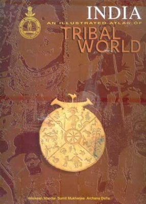
India: An Illustrated Atlas of Scheduled Castes
Synopsis
The Illustrated Atlas of Scheduled Castes of India has depicted a comprehensive picture of the Scheduled Caste Communities, particularly the weaker sections of the people of India. As per the Census of India, 1991, the Scheduled Castes' population constitutes about 16 per cent of the total population of India and 478 communities have been notified under the Scheduled Castes of India. The distribution of population of the caste communities is shown rankwise on population strength in each state/union territory up to district level and the data used for showing the distribution pattern of the Scheduled Castes are recorded from the Census, 1991. The atlas has evolved 31 plates which comprise two maps of India, six regional, twenty four state maps and three maps of union territories. Only one state, viz. Nagaland and two union territories, viz. Andaman & Nicobar; and Lakshadweep & Minicoy Islands are excluded, because Scheduled Caste communities are not recorded there. The appendix has included a list of Scheduled Caste communities and their statewise distribution. The atlas has also been enriched by a comprehensive table on distribution and percentage of Scheduled Caste population of each state/union territory, from 1961 to 1991. Apart from those.
-10%
Item available. Ships in 2-4 days.
Share

Sumit Mukherjee

About the author
View books
Archana Datta
About the author
View books
Hrishikesh Mandal
About the author
View books
Pradyot Kumar Guha
About the author
View books
Sanchita Ghatak
About the author
View books
Explore titles by the author


More authors you may like