FREE & QUICK WORLDWIDE SHIPPING ON $60+
TAKE 10% OFF YOUR ORDER | USE CODE: TAKE10
Book details
-
 xv+276p., Figures; Tables; Maps; References; 22cm.
-
 Hardcover
-
 English language
-
 New India Publishing Agency
-
 01.01.2005
-
 ISBN 10:
8189422057
ISBN 10:
8189422057
Related categories
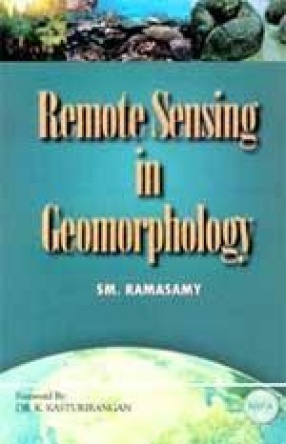
Remote Sensing in Geomorphology
Synopsis
Geomorphology is the study of external landscape/architecture of the earth’s crust which stands as a testimony not only for the palaeo morphotectonic and morpho-dynamic activities but also the present day geological processes as well thus making geomorphology significant in understanding the hierarchical evolution of the earth and related resources, environment/ecosystems and disaster proneness. With remote sensing deepening its roots in all fields, the scope of geomorphology too has phenomenally widened as fabrication and animation of modern geologic/geomorphic processes are being easily done by remote sensing. Key Features: Covers topics like the art of understanding Neo-Active-Seismotectonics through various tectonic, fluvial and coastal geomorphic anomalies, reverine life histories and dynamics, land-ocean interactive processes and the morphotectonics and morphodynamics of the coast there from, and the control of such geomorphic processes over mineral/water/hydrocarbon resources, natural disasters etc. Highly Illustrated with colour presentation of maps and figures. A multi-user book beneficial to: Students, professionals and researchers in the field of Environment, Geology, Hydrology, Natural Resources, Remote Sensing and Geographical Information Systems.
-10%
Item available. Ships in 1-2 days.
Share