FREE & QUICK WORLDWIDE SHIPPING ON $60+
TAKE 10% OFF YOUR ORDER | USE CODE: TAKE10
Book details
-
 xxii+227p., Tables; Figures; Maps; References; Index; 25cm.
-
 Hardcover
-
 English language
-
 New India Publishing Agency
-
 01.01.2006
-
 ISBN 10:
8189422316
ISBN 10:
8189422316
Related categories
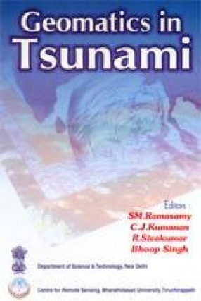
Geomatics in Tsunami
Synopsis
The Asian “Mega Tsunami†(2004) has struck most of the territorial nations of South Asia including the East coast of India. The NRDMS Division, Department of Science and Technology, Government of India, New Delhi, has conceived and executed an All India Co-ordinated programme on “Tsunami Disaster Assessment and Mitigation†through various, institutions of expertise on Geomatics in Earth System Dynamics and the related natural disasters. The Geomatics technology which includes Arial Photography, Photogrammetry, Satellite Remote Sensing, Digital Image Processing, GPS Surveys, GIS modeling etc. was used in this programme, geospatial data bases were created on Tsunamic disasters over Natural, Physical and Human Resources and futuristic mitigation strategies were evolved therefrom. The book illuminates the results of the studies carried out along the Indian Coast and a bird’s eye view on the tsunami studies in Norway. In addition, some special papers on the role of mangroves as Tsunami mitigator, Impacts of Tsunami over marine water quality, coral ecosystem etc; the administrator’s experience over the tsunami crisis management, NGO’s perspective, certain societal issues triggered by the killer Tsunami and citizen’s perspective, etc. also find a place in this volume. A multi-disciplinary book adequately illustrated with satellite images, photographs and figures beneficial to: Students, researchers, field level professionals and the administrators in the arenas of environment, coastal ecosystem, disasters, coastal vulnerability, remote sensing, GIS etc.
-10%
Item available. Ships in 1-2 days.
Share

S.M. Ramasamy

About the author
View books
Brig. R. Sivakumar
About the author
View books
Bhoop Singh
About the author
View books
C.J. Kumanan
About the author
View books
Explore titles by the author


More authors you may like