FREE & QUICK WORLDWIDE SHIPPING ON $60+
TAKE 10% OFF YOUR ORDER | USE CODE: TAKE10
Book details
-
 vi+236p., Illustrations; Tables; Figures; Maps; Bibliography; Index; 23cm.
-
 Hardcover
-
 English language
-
 Jnanada Prakashan
-
 21.10.2010
-
 ISBN 13:
9788171394227
ISBN 13:
9788171394227
Related categories
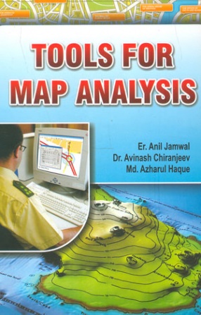
Tools for Map Analysis
Synopsis
Biophysical material and man-made features on the surface of Earth are inventories using remote sensing and in situ techniques.
The information is often stored cartographically or in a geographic information system (GIS). Some of the data are static, that is, they do not change over time. Conversely, some biophysical materials and man-made features are dynamic, changing rapidly.
It is important that such changes be inventoried accurately so that the physical and human process at work can be more fully understood (Estes, 1992; Jensen and Narumalani, 1992). Therefore, it is not surprising that significant effort has gone into the development of change detection methods using remotely sensed data. This chapter reviews how change information is extracted form digital remotely sensed data. It summarizes the remote sensor system change detection takes place. Many of the most widely used change detection algorithms are identified and demonstrated where possible using rural and urban examples. The general steps required to perform digital change detection using remotely sensed data.
One of the first requirements is to identify land-over classes of interest to be monitored and eventually placed in the change detection database. This requires the selection of an appropriate classification scheme.
This book will be of immense help to all those contemplating to acquire expert knowledge of tools for map analysis.
-10%
Item available. Ships in 1-2 days.
Share

Anil Jamwal

About the author
View books
Avinash Chiranjeev
About the author
View books
Azharul Haque
About the author
View books
Explore titles by the author

More authors you may like