FREE & QUICK WORLDWIDE SHIPPING ON $60+
TAKE 10% OFF YOUR ORDER | USE CODE: TAKE10
Book details
-
 44p., Figures; Tables; Maps; Appendix; Index; 29cm.
-
 Softcover
-
 English language
-
 Geological Survey of India
-
 01.01.1999
Related categories
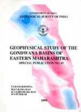
Geophysical Study of the Gondwana Basins of Eastern Maharashtra
Synopsis
Geophysical study of the Gondwana basins of Eastern Maharashtra’ reviews, compiles and interprets the geophysical work carried out in the Gondwana and adjoining trap covered terrain in Eastern Maharashtra, during the past half a century. The essential outcome of this effort is a Bouguer gravity map on 1:250,000 scale, of about 13,000 sq. km of area falling between Wirur (to the south of Chandrapur) in the southeast and Narkher on the northern periphery of Katol basin in the northwest, besides a residual gravity map on the same scale that reveals several new areas for coal exploration.
-10%
Item available. Ships in 2-4 days.
Share

T S Ramakrishna

About the author
View books
M.S.V. Rama Rao
About the author
View books
K.V.S. Bhaskara Rao
About the author
View books
Explore titles by the author


More authors you may like